
Weathersfield Township ZIP Coverage
The township administration uses Mineral Ridge, Ohio 44440, but that is an administrative mailing ZIP, not a definition of the whole township. USPS does not publish a simple authoritative list of every ZIP polygon that intersects Weathersfield Township, and ZIP areas are delivery routes rather than government boundaries. The table therefore separates the supported township-office ZIP from local candidate labels that require an address-by-address USPS and county GIS check. It does not claim that any candidate code covers all township addresses.
| ZIP | Documented connection | Postal label | How to use it |
|---|---|---|---|
| 44440 | Township administration mailing address | Mineral Ridge | Confirm a particular address and ZIP+4 through USPS. |
| 44446 | Adjacent or mailing-city candidate | Niles | Check the parcel because a Niles label does not establish city limits. |
| 44437 | Adjacent or historic-label candidate | McDonald | Verify the exact parcel, especially for older records. |
| 44420 | Adjacent or historic-label candidate | Girard | Use GIS, maps, and deeds for boundary-era work. |
| 44481 | County-seat office mailing candidate | Warren | Do not infer a township parcel from a county-office ZIP. |
| 44484 | County-services mailing candidate | Warren | Board of Elections and 911 use it; it is not a township-wide code. |
Note: A postal-place label is a delivery fact, while a parcel and boundary layer establish local government geography.
Weathersfield Township ZIP Labels
Mineral Ridge, Niles, Girard, McDonald, and Warren can all appear in research around Weathersfield Township. That is not a contradiction. The township separated from Niles and Girard in 1974, McDonald separated in 1980, and later annexations left distinct neighborhoods. Postal labels can persist across those changes. County records also sit in Warren, while township administration is in Mineral Ridge and Niles Municipal Court serves Weathersfield matters. Report the custodian and the parcel or case context together instead of using an office’s mailing city as location proof.
This record-geography comparison is especially important near a boundary: a current postal city, a historic directory label, and the government jurisdiction may not use the same name for the same physical area.
Weathersfield Township ZIP Process
A postal directory can narrow a research path, but it cannot supply a reliable township-wide roster. Begin with a known delivery address and preserve each source’s role. USPS verifies the delivery format. The Auditor and GIS identify the physical parcel. A later document search uses the legal description and recorded instrument, not a postal label alone. That sequence prevents a mailing ZIP, a tax-bill destination, or a neighboring post-office label from becoming a false location match.
- Use the USPS ZIP Lookup to normalize one address and obtain the delivery ZIP or ZIP+4.
- Find the same physical location in the Trumbull County Auditor or GIS parcel system and save the situs, parcel ID, and legal description.
- Keep the postal city and township or city jurisdiction as separate facts if they differ.
- For a named individual, use only the official record that fits the question, such as a name-first voter check or a recorded-document search.
- Once a ZIP has narrowed the area to an address, use the Weathersfield Township street directory for the parcel and street-level record chain.
No verified ZIP filter was found on the local property, court, or voter portals. A request for a maintained public record should ask for an existing file and its field definitions, not a newly created ZIP list.
USPS Postal Checks
USPS offers three useful postal checks: an address search, a City and State lookup, and Cities by ZIP. The address route requires a street with city and state, or a street with ZIP. It confirms the postal routing format for that address. USPS expressly says its lookup does not confirm that a person or company is at an address, and it does not establish township boundaries. Treat the result as a delivery reference before moving to county parcel data.
| USPS lookup input | Purpose and limit |
|---|---|
| Street address plus city and state | Normalizes a delivery address; it is not a jurisdiction or person confirmation. |
| Street address plus ZIP | Checks the delivery relationship when a ZIP is already known. |
| City and State lookup | Finds postal ZIP information for the entered place label. |
| Cities by ZIP | Returns postal city associations, which may differ from government boundaries. |
The postal screen supports one-address verification, not a township-wide ZIP result set. Save the USPS result with the date checked, then compare it with the Auditor or GIS situs fields. If the postal city differs from the government location, retain both labels instead of choosing one and losing the distinction that explains the apparent mismatch.
Weathersfield Township Parcel ZIPs
The official ArcGIS Tax Parcels schema distinguishes situs ZIP from owner and taxpayer mailing ZIP fields. It also keeps physical address components separate from DeededOwner, owner-mailing, Taxpayer, legal-description, instrument, and deed data. The situs ZIP belongs with the physical parcel. A mailing ZIP belongs with correspondence. The legal description belongs with land identity. A record stays more reliable when each field is quoted with its label and date rather than collapsed into a generic address.
The Trumbull County Auditor property search and GIS resources are the local tools for checking the parcel after USPS provides a delivery result.
No Local ZIP Filter
Research did not verify a ZIP filter on the local Beacon property search, a county court search, or the Ohio voter lookup. The only inspected official search with a postal-code field was Ohio’s DRC offender search, which has a restricted corrections scope and is not a Weathersfield Township resident resource. Do not substitute that field for a local directory filter. The defensible route is individual-address USPS verification, then a parcel lookup, followed by a targeted search or records request appropriate to the actual question.
Note: A portal field should be described only after its current label and scope are verified on the official screen.
Weathersfield Township ZIP History
ZIP-based research is vulnerable to the township’s changing civic geography. The 1974 Niles and Girard separation, the 1980 McDonald separation, and later annexations can leave a historic record with a place label that differs from current parcel geography. The county GIS and Tax Map function maintains boundary data and 911 address updates after local zoning offices, fire departments, or trustees assign a changed address. When an address looks inconsistent across sources, compare the parcel’s legal description and map setting before deciding that records concern different places.
The result is a local comparison, not a generic postal warning: postal delivery may follow a familiar city name while the county parcel record locates the land in a different government area.
Historic Weathersfield Township ZIP Context
Older records often predate modern ZIP use or describe land through township, range, section, lot, village, or street language. Do not force a present-day postal label onto a 1918 record before the parcel link is stable. The Warren-Trumbull County Public Library’s digitized lower-townships atlas has two Weathersfield Township plat pages and a separate Mineral Ridge Village page. County archives add township maps, tax maps, deed indexes, and tax duplicates that can reconcile early land descriptions with later postal labels.
The Trumbull County Archives auditor-records page identifies historical tax and assessment material for this second step.
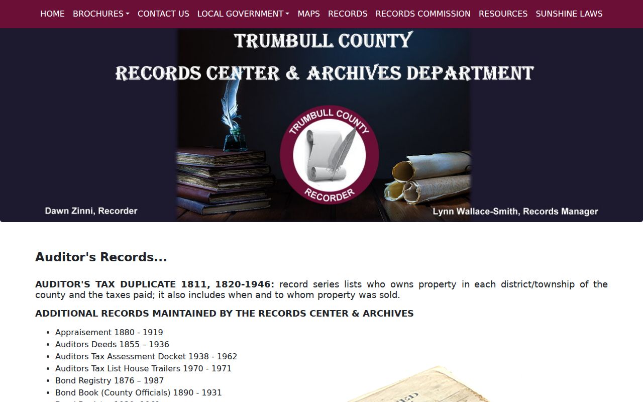
Historical tax and map sources help translate a dated land description before any modern postal comparison is made.
Weathersfield Township ZIP Protections
Ohio voter information is person-focused, not ZIP-focused. R.C. 3503.13 makes defined registration and statewide database data public while withholding Social Security and identification numbers, telephone and email fields, confidential registration, protected public-service-worker addresses, proof of citizenship, and other protected information. R.C. 3503.153 describes the information that may appear online, subject to those exclusions. A postal code does not override a protected record, and a missing or limited result can be intentional.
The Ohio voter-record public-access statute sets the exclusions that apply to underlying registration data.
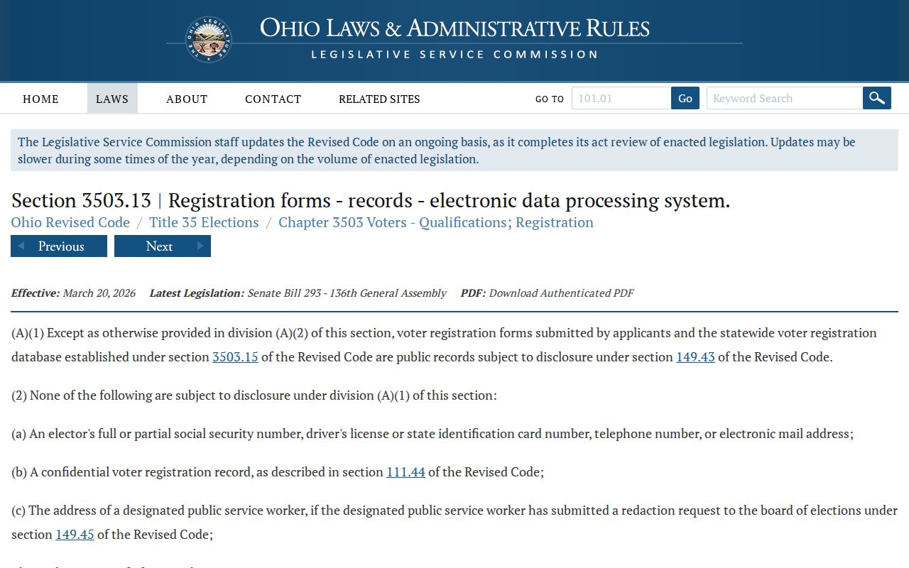
Read an available voter field in its statutory context, and do not use it to construct a bulk location roster.
The online voter-information rule identifies the public display framework and its continuing exceptions.
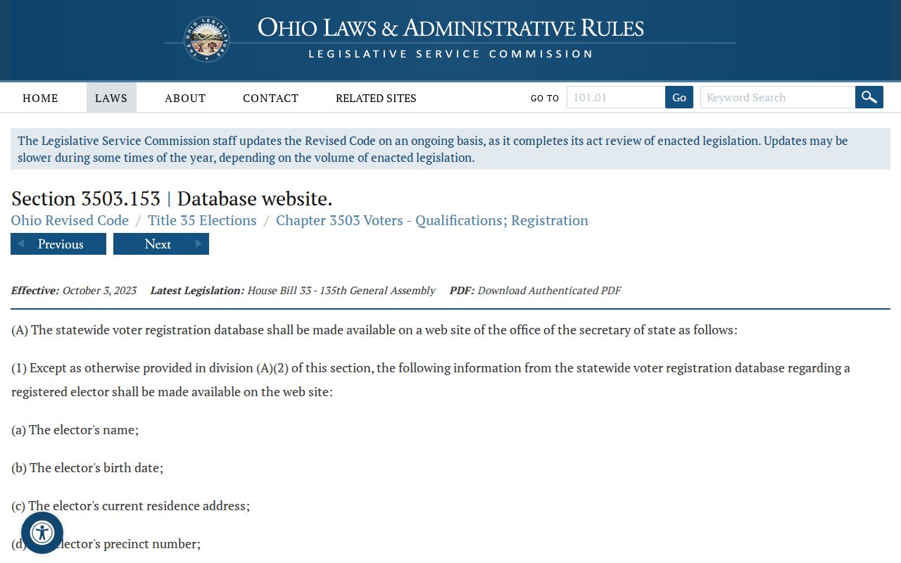
The two statutes work together, so an online display should never be read as permission to seek excluded information.
Weathersfield Township ZIP Privacy
Ohio’s Safe at Home program is an additional reason that a county or voter address may be absent, substituted, or restricted. R.C. 111.42 establishes the program’s eligibility path for qualifying Ohio participants, and R.C. 111.43 allows a certified participant to file a real-property confidentiality notice with the county Recorder. Such protection is not a data mismatch to be worked around. It is a legal safeguard that should remain intact when comparing ZIP, parcel, and name records.
The Safe at Home statute explains the program’s application basis and supports careful treatment of absent address information.
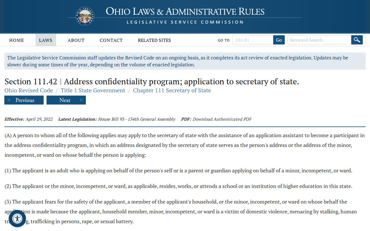
Keep a redacted or substituted field as reported and use lawful, source-specific correction channels for an actual record error.
ZIP Boundaries in Weathersfield Township
ZIP code boundaries and township limits serve different systems. A ZIP is a postal delivery construct. A ZIP+4 adds a more specific delivery segment. A PO-box ZIP handles post-office boxes, and a unique ZIP can be assigned to one organization. A carrier route is an internal delivery grouping, not a municipal line. The research did not document a PO-box-only or unique ZIP for Weathersfield Township, so those terms should remain definitions rather than claims about local coverage.
- ZIP code
- A postal routing code used to direct mail, not to define township or city jurisdiction.
- ZIP+4
- An added four-digit delivery detail tied to a more specific address segment.
- PO-box ZIP
- A postal code used for post-office-box delivery rather than proof of a physical parcel location.
- Unique ZIP
- A code assigned to a single organization or large recipient; no local example is asserted here.
- Carrier route
- A mail-delivery grouping that may cross local government boundaries.
Use postal verification to confirm delivery information, then let the parcel, legal description, and custodian record answer the geographic or person-specific question.