
Weathersfield Neighbors by Parcel Block
A reliable block search starts with geography. Locate one seed parcel, identify the lots that truly touch it, and open each nearby card separately. County property data can provide the situs, parcel ID, legal description, and owner or taxpayer components for a particular parcel. The Recorder can then show recorded land-document parties. Those are distinct questions from who occupies a home today. The record set does not supply a casual roster of Weathersfield Township neighbors, and it should not be read as one.
| Block source | What it can establish | Practical access |
|---|---|---|
| Auditor and GIS parcel data | Seed parcel, situs, legal description, and adjoining parcel geometry | County map and property search |
| Individual parcel card | Owner and taxpayer components, sale and deed references | Open each parcel separately |
| Recorder instrument history | Recorded grantor, grantee, document date, and land description | PAXWorld, Recorder counter, or Archives |
| Ohio voter lookup | A known person’s registration path, subject to protected fields | Name, county, and official search |
| Maps, plats, and local collections | Historic block shape, street context, and dated local clues | Archives, W-TCPL, and Historical Society |
Begin with the Trumbull County Auditor Real Estate Search or the official GIS and Tax Map. Preserve the date searched because a parcel card and recorded status can change. The land description is often the best cross-check when a mailing label says Mineral Ridge, Niles, Girard, McDonald, or Warren. Those labels may describe postal delivery or a nearby jurisdiction rather than the same township boundary.
Start With a Weathersfield Neighbor Parcel
Use the known address to select the seed parcel in the map viewer. Record its PIN or parcel ID, situs, legal description, map date or scale, and any deed or instrument reference. Then view the immediately touching shapes. A parcel across a road is not adjacent in the same sense as a lot sharing a boundary. Nor are narrow strips, alleys, rail corridors, utility land, or shared common areas ordinary neighboring home lots. The map creates a spatial lead. The plat and legal description determine whether that lead is sound.
- Find the seed address and capture the parcel ID, situs, and legal description.
- Zoom only far enough to see every touching parcel boundary and any interruption between lots.
- Write down each touching parcel ID and its visible site address before opening a new card.
- Compare lot, subdivision, and map language with the seed parcel instead of assuming every nearby point is adjacent.
- Move from the parcel card to recorded instruments only after the land relationship is clear.
This flow also protects against an easy local error. Weathersfield’s history includes separation from Niles and Girard in 1974, McDonald in 1980, and later annexations. A postal city alone cannot prove that a nearby property sits within the same government boundary or historic record context.
Read Each Weathersfield Neighbor Parcel
Open every adjacent parcel card separately. The county ArcGIS parcel schema includes physical location components and separately stored deeded-owner, owner-mailing, and taxpayer-mailing components. It may also carry lot or subdivision data, instrument or deed references, sale information, taxes, homestead indicators, zoning, and other land fields. Public card display can change, so report only what the current card shows and save the source date. A taxpayer mailing address can be useful for understanding how taxes are sent, but it is not a resident address.
- Situs
- The physical location of the parcel, expressed through the county address fields.
- Deeded owner
- The owner name carried in the parcel data, which may differ from the person present at the property.
- Taxpayer
- The party associated with tax mailing or payment fields, also separate from the situs.
- Plat
- A map or plan that shows lots, roads, alleys, and subdivision layout for a defined area.
A property card supports a recorded association with land. It does not prove the daily occupants, family relationships, or contact information for a parcel. That distinction matters most on a close block where several records can show the same trust, estate, corporation, or mailing contact. Keep those associations separate rather than merging them into a claim about your neighbors.
Note: A county parcel card has owner and taxpayer fields for land administration, not a complete list of people at that address.
Weathersfield Neighbors Need Plat Checks
After identifying true adjoining parcels, compare their legal descriptions and recorded history. PAXWorld is a name-indexed system, not a street index, so start with the parcel’s recorded owner, instrument number, and lot information. Search the name with spelling variants, then read the document’s legal description before deciding it relates to the neighboring parcel. The Recorder advises that its index is a guide to the underlying records. That warning is especially useful when nearby parcels have similar street labels but different subdivisions or lot numbers.
A historic plat can explain why an apparent neighbor is separated by an alley, common area, or irregular remnant lot. W-TCPL’s digitized 1918 lower-townships atlas includes two Weathersfield Township plat pages and a separate Mineral Ridge Village page. County Archives also lists township maps from 1830 through 1979 in stated editions. These materials provide historical spatial context, not a current neighbor list. For a fuller address chain along a named street, use the Weathersfield Township streets directory rather than stretching one block search beyond its evidence.
Confirm One Weathersfield Neighbor Carefully
Ohio My Voter Information is intended for a specific registration check, not a block directory. The official form requires first name, last name, and county, with Trumbull selected for a township candidate. After a narrowed match, a street-name control can help resolve which result is the right person. That control does not make the service a browse-all-voters-by-street tool. Compare a known candidate against independent facts such as a parcel legal description or a dated recorded instrument before making any statement about location.
Ohio law makes some voter data public while excluding Social Security and state-ID information, telephone and email details, confidential registration, protected-worker addresses, proof of citizenship, and other information closed by law. Safe at Home records are also protected. A missing entry may reflect a move, a name variation, a different county, or a lawful protection. Do not attempt to work around a protected record.
The text of Ohio Revised Code 149.43 is the state baseline for requesting existing nonexempt public records from the custodian.
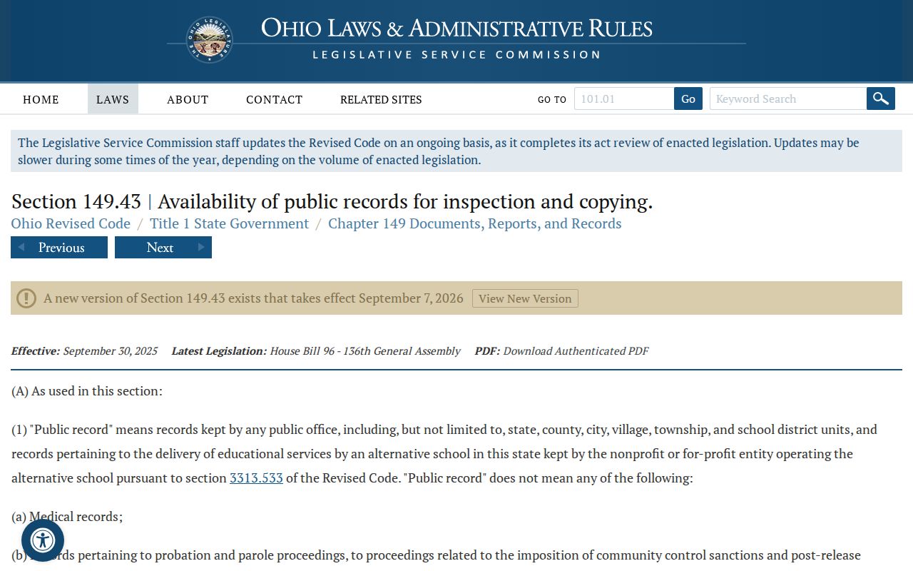
A focused records request names the existing record and date range; it does not ask an office to create a new block list or disclose protected fields.
Privacy Limits for Weathersfield Neighbors
Public land and election records have firm limits. A map can show parcels. A deed can identify recorded parties. Neither can safely identify every person in a household, a visitor, or a person whose details are protected. Court records may be sealed or confidential, and vital records have their own custodial rules. The correct approach is to match a narrow question to the office that keeps that record, then accept a lawful redaction or no-result without trying to fill the gap from unrelated information.
Vital records are not a neighborhood inventory. Ohio’s vital-record copy law describes a signed application and fee route for certified copies, subject to specific statutory closure. A death notice or Probate record may help document a known historical person, but it cannot turn a parcel search into a list of present neighbors.
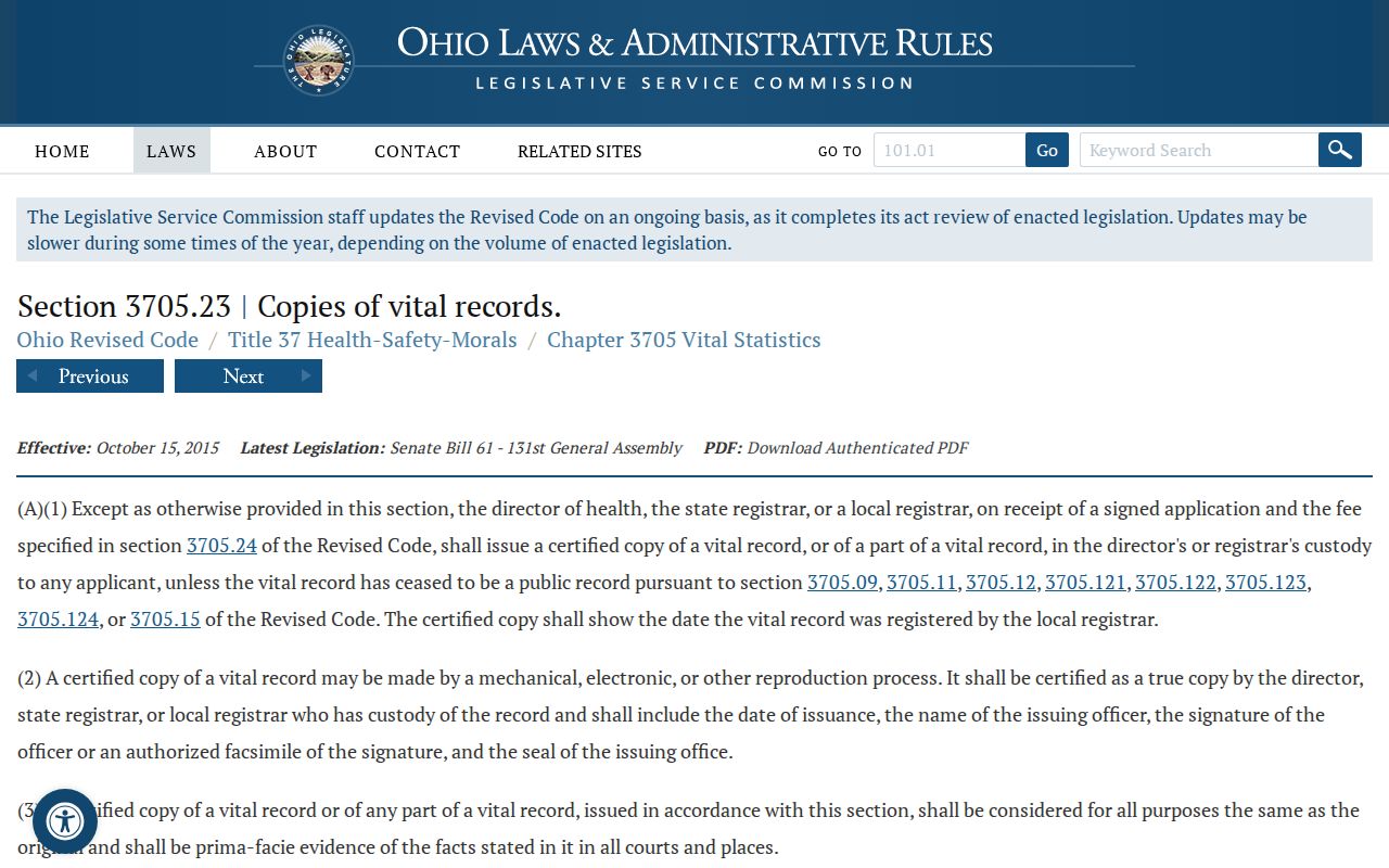
For a historical family question, request the appropriate record from its custodian and keep it separate from the county parcel evidence.
Historic Context for Weathersfield Neighbors
There is no verified official inventory of neighborhood associations, civic-group rosters, or membership directories for Weathersfield Township. The township calls itself a Community of Neighborhoods, but that civic description is not a directory and should not be turned into invented contacts. The honest local status is that no official association list or public membership directory was located. A research request should use a known place, historic street, date range, and document type instead of asking an institution to identify every person in an area.
| Community source | How it helps | Access status |
|---|---|---|
| W-TCPL Local History and Genealogy | Directories, telephone books, maps, newspapers, obituaries, and archival material | In person, phone, focused request, or Book-a-Librarian appointment |
| Trumbull Memory Project | Photographs, postcards, illustrations, and documents for street context | Online repository with collection context |
| Trumbull County Historical Society CatalogIt | Person, Date, Place, and Tag searches across archived items | Online metadata search; research contact or appointment for material |
| Official association directory | No verified association or membership inventory found | No contact list should be inferred |
The Trumbull County Historical Society online database reports more than 13,000 searchable archive records and offers Person, Date, Place, and Tag searches. It can add local context from letters, ledgers, photographs, and documents. Treat a catalog description as a lead to the underlying item, not a statement that someone currently lives nearby.
Weathersfield Neighbor Records Need Context
A corporate, trust, estate, or statutory-agent name on a parcel needs a different reading from a natural person’s name. Ohio’s Secretary of State says its business search can find a statutory agent but does not maintain owner or officer lists. That means an entity filing may explain a recorded party’s name without proving an individual owner, address, or neighbor relationship. Read the recorded instrument and property card before adding any conclusion.
The Ohio Secretary of State’s business-services page is the official starting point for an entity status or statutory-agent question.
Entity records can explain a label in a deed chain, but they remain a separate record type from parcel geography and household status.
A court search likewise follows jurisdiction and a known party, not a block. Niles Municipal Court serves Weathersfield for municipal matters, while some matters belong in Common Pleas and federal matters in the Northern District of Ohio. A case number, party role, and date are needed before a court result can be tied to an address.
The Northern District of Ohio PACER court locator shows the federal court access path for a known case.
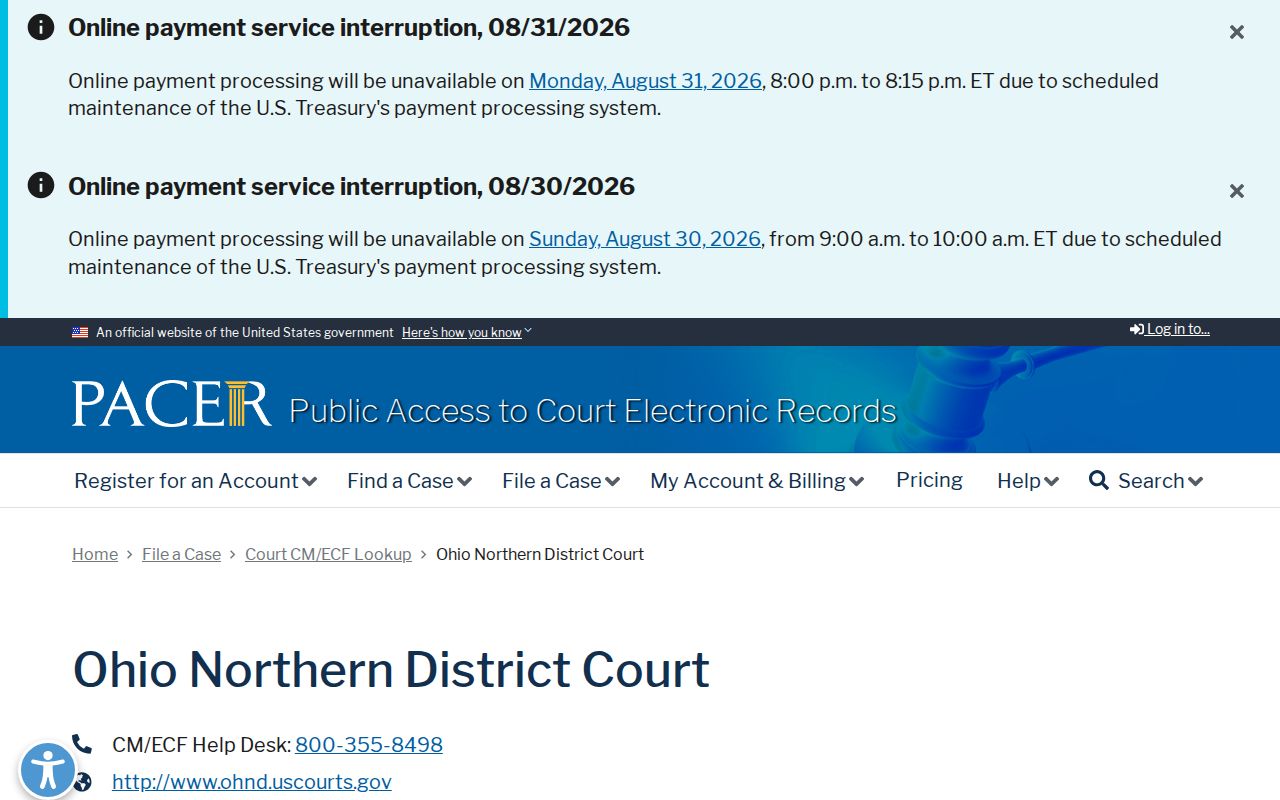
Federal court access can verify a known filing in the correct district, but it is not evidence of who occupies nearby parcels.
Compare Weathersfield Neighbor Sources
Official sources preserve a clear custody trail. A county parcel record can be checked against the map and Recorder document. A commercial neighbor tool may combine old public filings, mail data, and unverified inputs, but it can be stale, incomplete, or mix people with similar names. For a block question, the official parcel, plat, and deed chain is slower but lets each claim stay tied to a source and date.
| Official county records | Commercial neighbor tools |
|---|---|
| Identify a parcel, recorded document, and source date | May combine material from several dates and sources |
| Separate situs, owner, and taxpayer fields | May not explain how an address or name was categorized |
| Allow a legal-description and plat check | Cannot replace county map and document evidence |
Note: A useful neighbor result identifies the supporting parcel and record date, rather than claiming to identify every person around an address.
Weathersfield Neighbors Require a Careful No-Result
Before treating an address search as blank, record the exact street spelling, direction, suffix, unit handling, source, and date. Then test the PIN or parcel ID, legal description, historic postal-place name, and an appropriate map or plat. This is vital in Weathersfield because boundary changes and annexations can leave records under Niles, Girard, McDonald, Mineral Ridge, or Warren labels. A negative web result does not prove that no one has ever lived at a parcel.
If the needed item is not online, ask the specific custodian for an existing record. The township can address zoning certificates, applications, and meeting material by address or parcel, though no online permit index was located. The Recorder, Auditor, Archives, library, and Historical Society each keep different pieces of the local record. A precise request gets farther than a broad demand for a neighborhood list.