
Browse Weathersfield Township Streets
Start at the physical address, not a surname. The county property system and parcel map establish the site, parcel identifier, and legal description that make an address distinct from a nearby or similarly named street. From there, the record trail separates roles: the parcel card can identify a deeded owner or taxpayer association, the Recorder can identify parties to a land instrument, and Ohio’s voter tool can help confirm one already identified person. None of those sources creates a complete household list. That distinction keeps a Weathersfield Township street directory useful without overstating what public records prove.
- Open the Trumbull County Auditor property search with the known address and record the current situs, PIN or parcel ID, legal description, and instrument reference.
- Use the county’s GIS and Tax Map resources to view the parcel in its street and boundary setting, then compare the address components on the parcel card.
- Take the deeded-owner name, instrument number, and legal description to the Trumbull County Recorder PAXWorld index for the recorded document trail.
- Where a known person needs confirmation, use Ohio My Voter Information with that person’s first name, last name, and Trumbull County. It is a name-first check, not a street roster.
- For an older address, ask the Warren-Trumbull County Public Library Local History & Genealogy Center for the exact directory or telephone-book volume and page.
Note: Preserve the street spelling, direction, suffix, unit handling, search date, and source before treating an address result as a match.
Weathersfield Township Street Search
The Auditor is the current address-to-parcel starting point for a Weathersfield Township street search. Its portal separates Real Estate Search, Manufactured Homes Search, Map, and Reports. The associated county parcel data includes the components needed to pin down an address: number, direction, street, suffix, secondary address, city, state, ZIP, parcel identifiers, legal description, lot or sublot, subdivision, and instrument or deed references. The live Beacon search screen was not available to unattended research, so no unverified field labels or whole-street mode are claimed here.
| Auditor or GIS element | How it helps on a street |
|---|---|
| Real Estate Search | Official destination for current real-property research; confirm its live inputs before relying on a filter. |
| Map or Parcel Viewer | Locates the selected parcel and its setting among street segments and boundaries. |
| PIN, parcel ID, or property number | Separates a parcel from similar street names or changing postal labels. |
| Situs address components | Records physical number, directional, street, suffix, unit, city, state, and ZIP fields. |
| Legal description and deed fields | Connect the address to lots, subdivisions, and the recorded-document trail. |
The Auditor real-estate search is the visual starting point for this address chain.
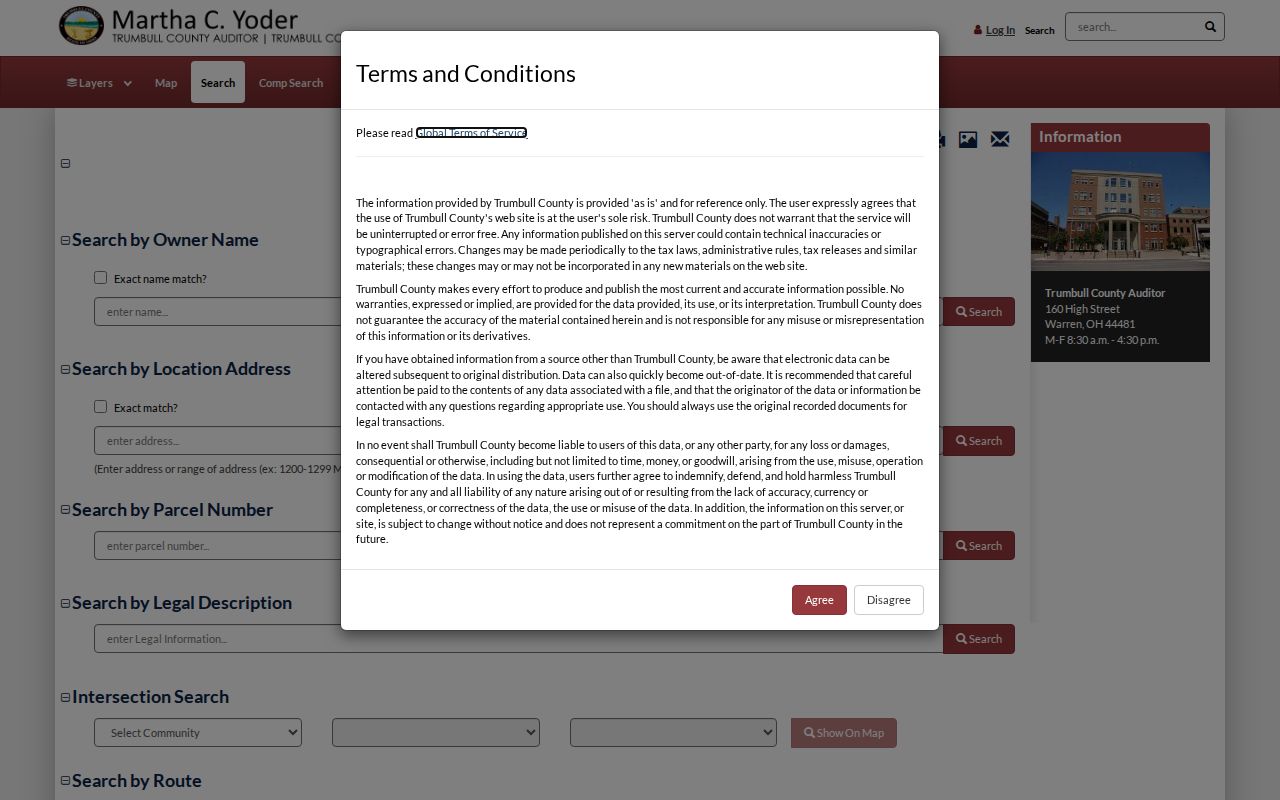
The search view reinforces why a parcel-based check should come before a name-indexed deed search.
Weathersfield Township Street Records
Address-keyed sources do not all mean the same thing. The parcel record is the practical bridge between a street location and a legal land description. A zoning certificate can date a project or use change. A deed identifies recorded parties and land language. A historical directory may supply an old occupant lead only when the exact volume is checked. Combining those records produces a more careful by-address result than relying on a single field or treating an owner name as a complete resident record.
| Address record | Custodian | Street evidence | Access route |
|---|---|---|---|
| Current parcel and tax data | Trumbull County Auditor and GIS | Situs, parcel ID, legal description, owner or taxpayer components | Property Search, Parcel Viewer, or county counter |
| Recorded instruments | Trumbull County Recorder | Grantor, grantee, instrument, and legal land description | PAXWorld, Recorder counter, or archive series |
| Historic deeds and indexes | Trumbull County Records Center & Archives | Land details and named parties from 1795 through 1896 | Archive inquiry or counter research |
| Zoning certificates and hearings | Weathersfield Township | Address, applicant or project, certificate, plan, decision, or minutes | Downloads plus a focused records request |
| Named voter confirmation | Ohio Secretary of State and Trumbull BOE | Public registration information subject to statutory exclusions | Name-and-county lookup or request for an existing public record |
| Historic directories and telephone books | W-TCPL LH&G | Potential historic occupant or address lead | Request the exact title, year, page, and any reverse section |
Note: The County Archives is the fallback when the current online record does not reach the needed era or document series.
Weathersfield Township Street Fields
County parcel data deliberately separates the property’s situs from owner and taxpayer correspondence fields. The site location is the physical parcel. DeededOwner and other owner components can identify a recorded association, while separate owner and Taxpayer mailing components show where a bill or correspondence may be directed. A mailing ZIP or postal address can belong to an estate, trust, agent, or another location. It should be described as the field actually shown, not converted into a claim about present occupancy.
- Parcel
- A defined tract in the county tax and map system, usually identified by a PIN or parcel ID.
- Situs address
- The physical location assigned to the parcel, kept separately from mailing fields.
- Plat
- A recorded map that can show lots, subdivisions, streets, and legal land relationships.
- Legal description
- Land language such as lot, sublot, subdivision, range, township, or section that connects records across changing address labels.
- Criss-cross directory
- A reverse address section, if a particular historic volume contains one, that may list a household by address.
On a changing street label, the legal description is often the steadier comparison point. Parcel data can carry lot, sublot, subdivision, acreage, frontage, and deed-volume or page references alongside its map position. Those fields help separate one physical tract from a mailing address or a similar street entry elsewhere in Trumbull County. The parcel card should be saved with its access date because current assessment and map data can change.
Weathersfield Township Deed Records
The Recorder makes the street directory’s land-document work possible, but it does not search land by location. Its own guidance says records are indexed by names rather than locations. After the Auditor or GIS supplies the parcel, legal description, current instrument number, and current named party, search PAXWorld by grantor or grantee. Read the instrument and carry its legal description, lot or subdivision, date, and prior reference to the next search. That sequence is current address to parcel to instrument to prior recorded party, not a deed search by street name.
The Recorder says online data and images, apart from military discharges, reach the county’s first recorded records in 1795. For deeds and indexes from 1795 through 1896, the County Archives provides a documented historical channel; the Recorder holds later deeds. A search can also need estate, trust, corporate, co-owner, or spelling-variant terms. County staff do not conduct title searches, so the resulting chain is evidence to check, not a title conclusion.
Name Index, Street Result
PAXWorld warns that its index is a guide to the underlying documents, much like a library card catalogue. That local warning matters when a surname has alternate spellings, initials, former names, or trust and estate parties. Search variations and compare the document’s legal description with the parcel rather than accepting the first matching name. An account is not required for the online index, though the Recorder says an account can save settings, search history, and documents in a cart.
Remote printing from the Recorder site is free. The FAQ reports self-service office copies at $0.05 per page, staff-assisted lookup copies at $2 per page, and certification at an additional $1 per document. Those options are for copies and verification, not a substitute for examining the land chain itself.
Weathersfield Township Street Zoning
Zoning is an address-keyed supporting source where a parcel has a documented structure, sign, fence, pool, occupancy, variance, conditional-use, or zone-change matter. The township requires zoning certificates for specified construction and property changes and publishes forms and a zoning map. It has not published a searchable permit database. A focused request should supply the physical address or parcel, certificate number if known, date range, and the particular application, plot plan, certificate, decision, inspection, or meeting item sought.
The Weathersfield Township zoning resources show the address-linked forms and current zoning materials.
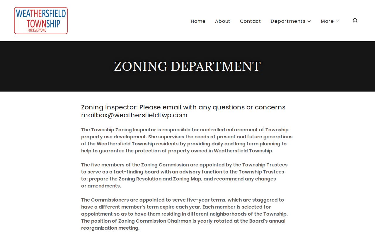
A certificate or hearing item can help date a property event, but it does not identify every person connected with an address.
Weathersfield Township Street History
Weathersfield Township has a boundary-history quirk that affects a street directory. The township separated from Niles and Girard in 1974, McDonald separated in 1980, and later annexations left geographically divided neighborhoods. A historic Niles, Girard, McDonald, Mineral Ridge, or Warren label can therefore be associated with a location without proving the same current government jurisdiction. No official research source identified a township-wide renumbering or street-renaming year, so that claim should not be made.
Use the parcel, legal description, county boundary data, historic tax map, or plat to bridge labels. The W-TCPL digitized 1918 lower-townships atlas includes two Weathersfield plat pages and a separate Mineral Ridge Village page. That combination is a practical comparison tool for old land geography before matching an historic address to a modern parcel.
Confirming a Weathersfield Street
Ohio My Voter Information requires first name, last name, and county, with Trumbull selected for a Weathersfield Township candidate. After a narrow match, its street-name choice helps resolve ambiguity. It is not a public tool for browsing everyone on a street. Ohio Revised Code sections 3503.13 and 3503.153 make defined registration information public while excluding Social Security and identification numbers, telephone and email fields, confidential registrations, protected-worker addresses, proof of citizenship, and other protected information.
When an existing county-held public record is needed, a narrow Ohio Public Records Act request should identify the maintained record, date or version, wanted fields, and output medium. A custodian need not create a new street list. A person-focused confirmation that needs more than an address chain belongs in the Weathersfield Township resident lookup workflow.
Weathersfield Township Directory History
The Local History & Genealogy Center verifies that it holds city directories and telephone books, but the research does not establish exact publicly listed runs or a confirmed reverse-directory year. Ask for the title, year, place label, page, and abbreviation key before using one as an address source. A reverse or criss-cross section is useful only when the physical volume includes it. Pair a historic directory lead with the 1918 plats, archive maps, tax duplicates, census snapshots, obituary material, and deed chain rather than treating one entry as final proof.
For older county records, the Archives lists tax duplicates, maps, cemetery material, court dockets, and other series in addition to deeds. A blank online result may mean the needed source is at the counter or in an archive series, not that a street lacked prior occupants.
Weathersfield Township Directory Limits
A property owner, deed party, taxpayer, and registered elector are different record roles. Public property data does not name every occupant, and an absent result can reflect a protected address, a sealed or non-indexed record, a stale postal label, or a source that was never designed for street-wide results. Safe at Home participants may have substituted or protected address information, including a real-property confidentiality notice. Use only the record that answers the question and leave protected or redacted information alone.
Lawful use. Weathersfield Township street and address records support personal, civic, family-history, and property research. Do not use any result to stalk, harass, intimidate, or harm another person.
Note: A blank result is not proof that nobody has been associated with an address, especially where boundary and postal labels have changed.