
Weathersfield Previous Residents by Era
The best source changes with the date. A current Weathersfield Township address first needs a parcel number and legal description from the county property system. That anchors the land despite a later street, postal-place, or jurisdiction label. From there, recorded instruments identify transfer parties, archive series carry the trail into earlier periods, and library material supplies clues about households. Each source answers a narrower question. A deed can show a recorded buyer or seller, but it does not establish that every person at the address lived there.
| Record path | Documented coverage | Local keeper | Useful address evidence |
|---|---|---|---|
| Recorder instruments | County data and images to 1795 | Recorder and PAXWorld | Recorded parties, instrument references, and land descriptions |
| Archive deeds and indexes | 1795–1896 | Trumbull County Archives | Grantor, grantee, township/range, lot, acreage, and consideration |
| Mortgage and deed-range indexes | 1850–1947; 1872–1926 | Trumbull County Archives | Financing and index bridges that a deed-only review can miss |
| Tax duplicates | 1811; 1820–1946 | Trumbull County Archives | Taxable owner, taxes, and occasional sale notation |
| Directories, maps, and census | Exact directory volumes vary; census through 1950 is public | LH&G, Archives, and federal sources | Historic household clues and changing street geography |
For a recent transfer, begin with the parcel card and Recorder. For an older property, shift to the Archives when the document date falls in its deed period. The Warren–Trumbull County Public Library Local History & Genealogy Center, often called LH&G, has city directories and telephone books, but its online pages do not publish exact title runs. Ask for the specific place name, year, and address rather than assuming a volume exists. A later obituary or estate file can help determine whether a person left by death, but it should be read with the parcel and date evidence.
Start Weathersfield Previous Residents at the Parcel
Open the Trumbull County Auditor Real Estate Search or the county GIS and Tax Map with the physical address. Save the site address, PIN or parcel ID, legal description, lot or subdivision, and current deed or instrument reference when shown. The county parcel schema separates the physical situs from deeded-owner and taxpayer mailing fields. That distinction is important: a mailing field can be a contact or tax-delivery clue, not proof that a named person occupied the house.
- Locate the present situs and note the parcel ID, legal description, and current record date.
- Copy the deed or instrument reference and compare the lot, subdivision, acreage, or other land details.
- Use the buyer name and legal description in the Recorder index to locate the purchase instrument.
- Read the seller, then search that seller as an earlier buyer while keeping the same land description in view.
- Repeat the sequence, pausing for trusts, estates, co-owners, or changed parcel descriptions that need separate evidence.
- Grantor and grantee
- The grantor transfers an interest in land; the grantee receives it in the recorded instrument.
- Chain of title
- A dated sequence of recorded land transfers tied to the same parcel or legal description, not a guarantee of title.
- Legal description
- The lot, subdivision, township, range, section, or boundary wording that identifies land more reliably than a changing street label.
The process is a record trail, not a title examination. The Recorder says staff cannot perform title searches or provide title assurance. Preserve each document number, spelling used, record date, and source date. A current card can change after a new recording, while an old deed may use a postal place or subdivision name that no longer appears in routine address searches.
Weathersfield’s Name-Indexed Recorder Quirk
The Recorder directs an address question to the Auditor because PAXWorld is organized by names, not locations. That local quirk makes the parcel and legal-description step essential for previous residents research. Once the parcel identifies the present purchaser, search the Trumbull County Public Access PAXWorld index for grantor and grantee names, spelling variants, initials, trusts, estates, and co-owners. Read the underlying instrument before treating an index match as the same property. PAXWorld itself compares the index to a library card catalogue, a guide rather than a final determination.
| Access route | Confirmed copy terms | Best use |
|---|---|---|
| Remote PAXWorld printing | Free | Review a located instrument from home |
| Recorder self-service copying | Five cents per page | Copy a selected document at the counter |
| Staff-assisted lookup copy | Two dollars per page | Request a specific located record |
| Certification | One dollar additional per document | Obtain a certified version when the custodian confirms it is needed |
The Ohio Attorney General’s official deed-copy guidance illustrates why a direct Recorder route is the safer starting point.

Use the parcel and document reference to request the actual record, rather than relying on an unsolicited copy offer or a name-only result.
Note: Free remote printing and counter copy prices are Recorder guidance, so confirm current charges before placing a request.
Weathersfield Previous Residents at the Archives
County history work changes channels at the Archives. The Recorder reports online data and images, excluding military discharges, back to the first county records in 1795. The Trumbull County Archives specifically holds deed indexes and deeds from 1795 through 1896, while the Recorder is the later deed custodian from 1897 forward. Archive holdings also include the 1872–1926 general index to deed ranges and mortgage indexes and records from 1850 through 1947. A mortgage can expose a property relationship that does not appear as a fresh purchase in a narrow deed search.
The Archives is also the correct fallback for some court and naturalization material that can close a historical trail. Bring the legal description, recorded names, date range, and any book, page, or instrument reference. This narrows a staff request and helps distinguish similarly named people. The Records Center is at 185 E. Market St., Suite B in Warren, and researchers should call ahead with the series and period needed.
The Archives’ court-record holdings page shows the dated historical series available outside a modern name screen.
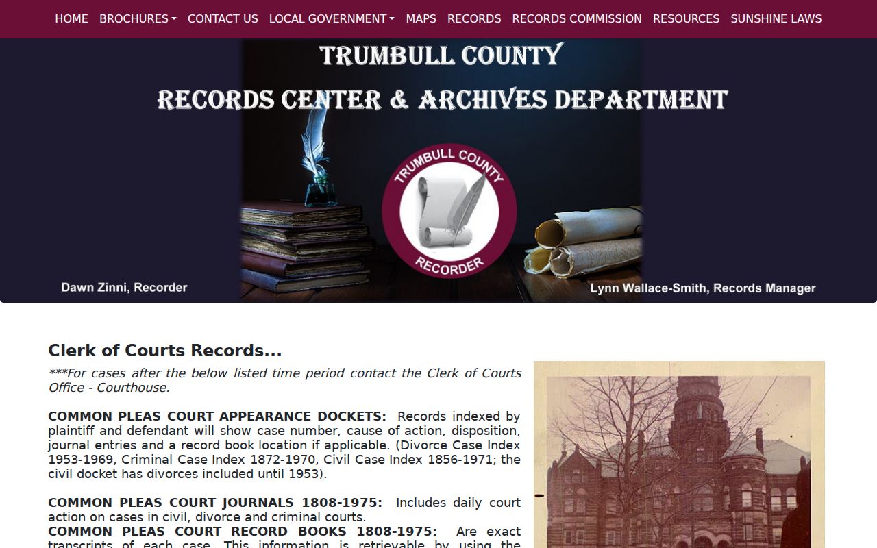
Historic court material can supply a dated context for a known person, but it should be connected back to the parcel or a recorded document before it is assigned to an address.
Weathersfield Past Residents in Tax Duplicates
Tax duplicates are a useful comparison source because they can show the taxable owner in a township or district year after year. The Archives lists a core series for 1811 and 1820–1946, including taxes paid and, at times, when and to whom property was sold. Those entries can support or question a deed-chain date. They are not a list of all past residents. Spouses, children, boarders, and other people at the property may not appear, and a taxable owner can be different from the census household head.
There is also a documented 1952–1991 gap in one tax-duplicate series. Do not turn a missing roll into a conclusion that the property was empty or that the owner disappeared. For a gap, return to recorded instruments, the exact library directory or telephone-book volume, zoning records, and federal census releases when the date permits. The Archives auditor holdings identify the series and its limits before a trip to Warren.
Note: A tax duplicate supports an owner and a tax event, not a complete picture of a household at the address.
Plats Ground Weathersfield Previous Residents
Historic maps keep an address from drifting as labels change. The Archives lists township maps for 1830, 1840, 1850, 1859, 1870, 1874, 1899, 1917, 1918, 1923, and 1979, plus tax maps for 1930–1975. W-TCPL digitized the 1918 lower-townships atlas with two Weathersfield Township plat pages and a separate Mineral Ridge Village page. A plat is a drawn subdivision or land layout. It can connect a lot or road shown in an old deed to the parcel language used today, but it is not an occupant roster.
Compare the legal description, lot boundaries, and adjoining land before translating an old road name into a current street. The county GIS maintains boundary and 911 address data after local assignment by zoning offices, fire departments, or trustees. For a mismatch, ask the GIS or Tax Map office about the current address assignment and retain the historic map citation. This approach is stronger than forcing a modern mailing label onto a much older document.
Weathersfield Previous Residents in Household Records
Land records identify a property trail. Household records can answer who lived there before. At LH&G, request the exact city-directory or telephone-book volume for Mineral Ridge, Niles, Girard, McDonald, Warren, or the historic street. Record the title page, year, page, and any abbreviation key. The library verifies that it holds city directories and telephone books, but it does not publish a complete online shelf list. The historical volumes themselves are described more fully on the Weathersfield Township city directory page.
- Start with a verified person, year, and stable address or legal-description bridge.
- Copy every printed name form, spouse notation, and address from the exact directory volume.
- Check the nearest earlier and later volumes for a move, a changed spelling, or a missing entry.
- Pair the result with the federal census snapshot for that period and test the household against parcel and tax evidence.
- Use an obituary or probate file as a later endpoint, while keeping a source date for each clue.
The newest public federal census is 1950 under the 72-year release schedule. A census gives a dated household snapshot, not a continuous street record. If the library record or census appears to conflict with ownership, retain both and ask whether a non-owner occupied the property, an estate held it, or another local label was used.
Close Previous Residents With Probate
Obituaries and Probate Court files help close, rather than invent, a timeline. LH&G’s obituary index is searchable online for 1960–2025, with PDFs for 1900–1949 and print indexes for 1900 to the present plus scattered earlier years. An obituary result provides a newspaper citation, a name form, a date, and a column or page lead. It is not certified proof of residence or kinship. Follow the citation to the newspaper material, then compare it with an estate docket, cemetery record, or a vital-record route.
For a marriage or estate question, the Trumbull County Probate Court marriage page notes that not all marriage records appear in its docket search and that a clerk search can be requested. Estate files can identify a decedent, fiduciary, beneficiary, real-estate transfer, and case number. Use the name as it appeared in the record and a narrow year range when requesting a specific file.
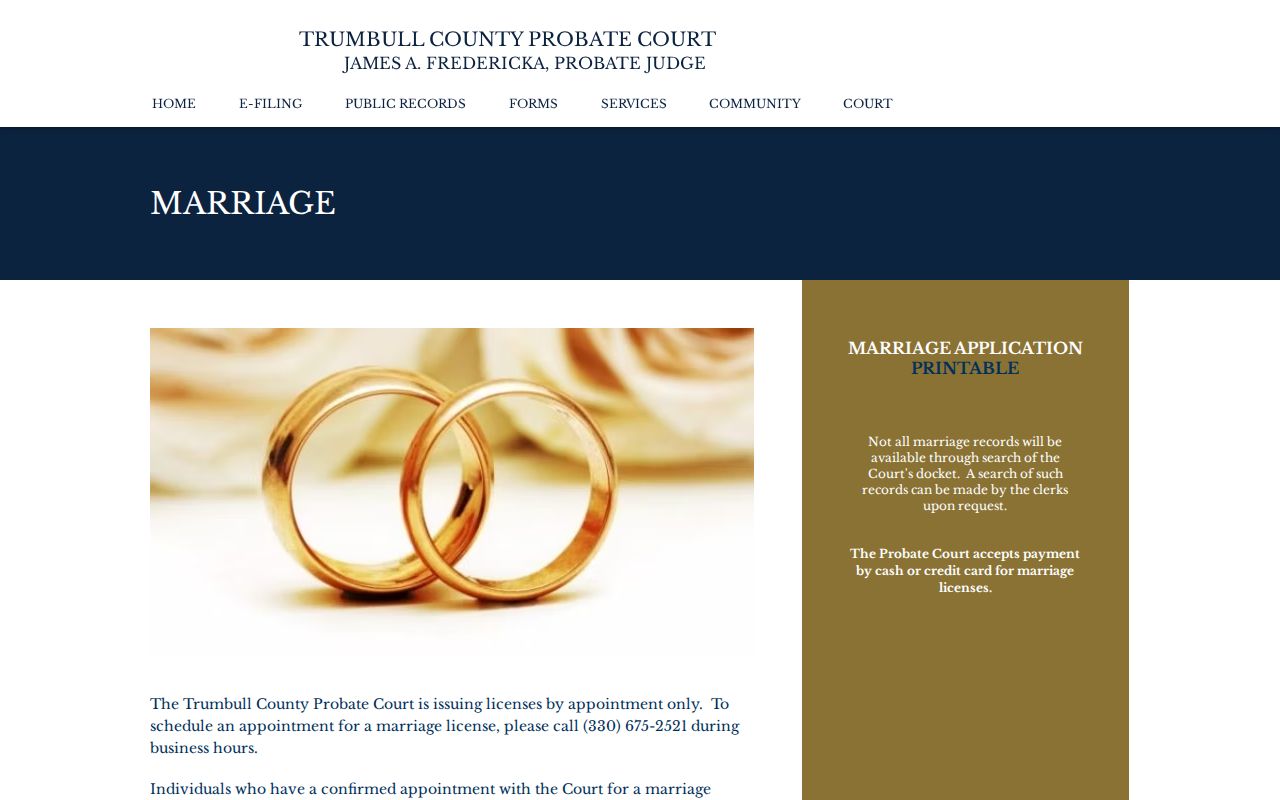
The court route is useful when a known relationship or estate needs documentation, while a parcel and recorded instrument remain the foundation for tying that person to a particular address.
Compare Weathersfield Previous Resident Labels
A historic Niles, Girard, McDonald, Mineral Ridge, or Warren label does not settle the township question. Weathersfield separated from Niles and Girard in 1974, McDonald separated in 1980, and later annexations divided territory into distinct areas. That makes a dated legal description and map comparison central to previous residents work. A modern address search may fail even when an older parcel, plat, or deed is relevant under another local label.
Record the street spelling, direction, suffix, unit handling, searched date, and source before calling a result empty. Then test the parcel ID, legal description, historic postal-place label, and map or plat. Postal delivery names and municipal boundaries answer different questions. This is a local comparison problem, not evidence that a person did or did not live at the property.
Note: Keep historic labels beside current parcel facts so later boundary changes do not erase the original record context.
Respect Limits on Previous Residents
Use a past-address trail for family history, estate research, house history, or a carefully documented property question. County and township records have different custody rules, and some records are sealed, redacted, confidential, or not indexed online. Ohio’s address-confidentiality program can substitute a participant address and can support real-property confidentiality measures for eligible owners. A missing address or name can therefore reflect a legal protection, not a research failure.
When a portal does not answer a narrow question, send the appropriate custodian a focused Ohio Public Records Act request with the address, parcel or document number, date range, desired record, and preferred inspection or copy format. Ask the office for existing records and copy costs. Preserve the response with the rest of the chain.