
Finding Weathersfield Township Residents
Use the question to choose the custodian. For a current land association, start with the county property record and map. For a known registered voter, use the state name-and-county lookup. For a recorded buyer, seller, or lender, use the Recorder after identifying the parcel. Court, probate, and vital records answer different questions and have their own limits. For a historic household, library directories, census material, maps, obituaries, and deeds often work together. The Weathersfield Township residents directory is therefore a set of local record paths, not a master roster.
Save the agency, result date, spelling searched, and the identifying number shown by the source. A parcel ID, instrument number, or court case number is much more useful than a name alone. County data can distinguish the property location from an owner or taxpayer mailing field. That distinction prevents a common error: treating a land record as proof that every person connected to an address lives there now.
- Start with a full name or physical address and confirm the correct Weathersfield Township geography.
- Use the Auditor and GIS for a parcel, site address, legal description, and current land-record association.
- Use the Recorder for the recorded document named by the parcel reference and compare the legal description.
- Use voter, court, or Probate sources only for the narrow question each one can answer about a known person.
- For an older resident trail, request the exact library volume, archive series, map, or obituary citation needed.
Weathersfield Residents Need a Boundary Check
Weathersfield Township is a township in southern Trumbull County, not an incorporated city. Its record geography crosses Mineral Ridge, Niles, Girard, McDonald, Warren, and adjacent areas. The township says it separated from Niles and Girard in 1974, McDonald separated in 1980, and later annexations left distinct pieces of territory. A historic directory or court record may use one of those labels without meaning the same jurisdiction as a current parcel.
Confirm a specific address in the county GIS or tax map before describing a result as Weathersfield evidence. Postal place names and delivery ZIPs are not municipal boundaries. For an older street, preserve the legal description and compare a dated map or plat before changing the place label. This protects the residents directory from a simple but damaging mismatch between an address’s mailing city and its government jurisdiction.
The township’s official history and boundary information explains the local separation history.
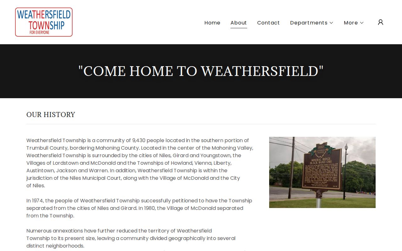
Use the history as a geography check, then let the parcel and record date determine which custodian and label apply.
Weathersfield Township Residents Records Offices
Three places organize most current research. Township-created material such as zoning certificates, trustee material, and police records begins in Mineral Ridge. County land, tax, map, court, archive, and election records are chiefly held in Warren. Niles Municipal Court serves Weathersfield for its municipal jurisdiction. This split matters. An office postal address describes the custodian, not the jurisdiction of every record it holds. Start at the office that created the record rather than assuming all local records sit at one counter.
Trumbull County Recorder
160 High St. NW #1
Warren, OH 44481
Weekdays, 8:30 a.m.-4:30 p.m.
PAXWorld recorded-document access
Trumbull County Auditor
160 High St.
Warren, OH 44481
330-675-2420
Real Estate Search and GIS/Tax Map
Trumbull Board of Elections
2947 Youngstown Rd. S.E.
Warren, OH 44484
330-369-4050
County voter-record custodian
The Weathersfield Township home and contact page identifies the township administration at 1451 Prospect Street in Mineral Ridge.
Use township channels for township-created documents and the Warren offices for the county record systems that serve township addresses.
Weathersfield Residents Through Parcel Records
The county parcel system is the practical address starting point. The Auditor portal offers Real Estate Search, Manufactured Homes Search, Map, and Reports destinations. The county GIS and ArcGIS parcel data can carry address components, PIN or parcel ID, legal description, lot and subdivision, instrument or deed reference, sale data, values, taxes, zoning, and separate owner and taxpayer components. Open the current card and capture only the fields actually shown at the time of search.
- Situs address: the physical location tied to the parcel, not a list of everyone at that property.
- PIN or parcel ID: a unique county reference for the map and tax record, best kept with the source date.
- Legal description: lot, subdivision, or land wording that bridges deeds and maps when an address shifts.
- Owner and taxpayer components: recorded land or tax associations whose mailing fields can differ from the situs.
- Instrument or deed reference: a route into the recorded document that must be read in full.
- Parcel
- A defined piece of land in county assessment and map records, identified by a PIN or parcel ID.
- Situs
- The physical location of the parcel, distinct from owner or taxpayer mailing fields.
- Legal description
- The lot, subdivision, township, range, section, or boundary wording that identifies land across address changes.
- Index
- A finding tool that points to an underlying record; it is not the complete document itself.
The Trumbull County Auditor property-search portal is the official route into the current property system.
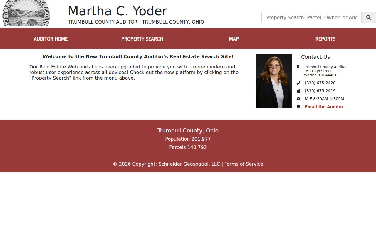
A parcel reference gives the Recorder and Archives a stable way to test an address even when a road name or mailing label changed.
Weathersfield Residents and the Recorder Quirk
The Recorder’s local warning changes the search order: its documents are indexed by names, not locations. Use the Auditor or GIS first to obtain the current owner association, parcel, legal description, and instrument reference. Then search PAXWorld for the recorded grantor, grantee, and document dates, using spelling variants, initials, trusts, estates, and co-owners as appropriate. Compare the legal description in the document with the parcel before assigning a result to an address.
PAXWorld says its data and images reach the county’s first recorded records in 1795, except military discharges. Its opening notice compares the index to a library card catalogue, which is a useful reminder to read the source document. Remote printing is free. Recorder counter copies are five cents per page, staff-assisted lookup copies are two dollars per page, and certification adds one dollar per document. The Recorder cannot perform a title search or provide title assurance.
The Recorder’s PAXWorld public-access screen is the entry point for recorded-document research.
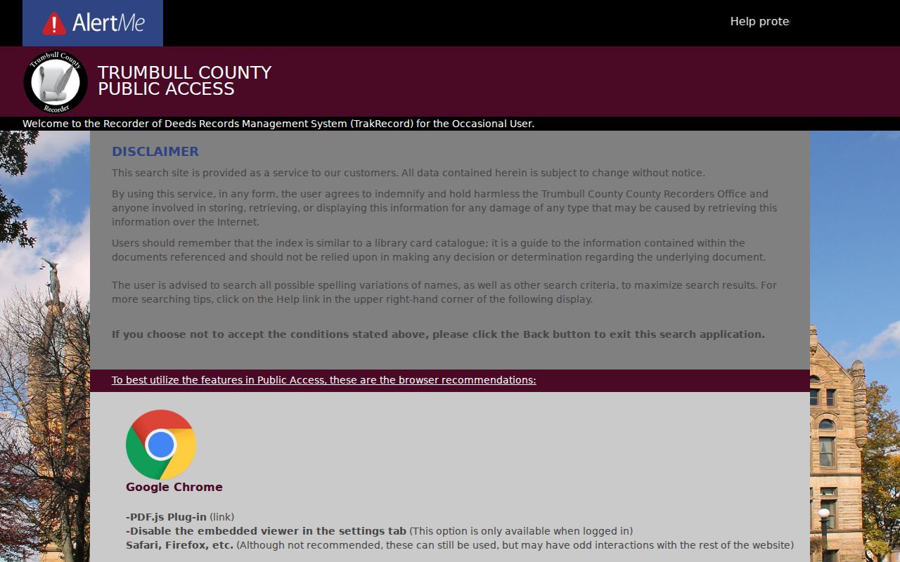
This name-indexed route is a local quirk worth preserving: address work starts with a parcel, then moves into recorded names and documents.
Note: Record the document number and source date because index entries and property cards can change after a new recording.
Current Weathersfield Township Resident Sources
Current resident research works best when each source is labeled for what it actually shows. The property system offers a land association and mailing data. The Recorder identifies parties in recorded instruments. Ohio voter lookup can confirm a specific registration candidate under the statutory limits. Courts identify parties to a case, not a residence. Local public safety and licensing systems have narrower scopes. No official neighborhood-association inventory or membership directory was located for Weathersfield Township, so no group roster should be assumed.
| Current source | What it can show | Keeper | Access and limit |
|---|---|---|---|
| Property and GIS record | Parcel, situs, owner or taxpayer components, land context | Auditor and GIS | Current portal and county office; does not establish all occupants |
| Recorded instrument index | Named grantor, grantee, lender, or other recorded party | Recorder | PAXWorld or counter; name-indexed rather than address-indexed |
| Voter registration lookup | Known registered-elector confirmation and precinct path | Ohio and Trumbull elections office | Name plus county search; public fields have legal exclusions |
| Municipal or county court record | Known case party, case number, and court event | Correct court clerk | Online or counter path; sealed and confidential records remain unavailable |
| Township zoning or police record | Address-specific project, certificate, or known incident material | Weathersfield Township | Targeted request; neither is a people list |
| Obituary and historical sources | Dated name, notice citation, and historical context | LH&G, Archives, and historical collections | Historic lead requiring source-by-source confirmation |
For a name-centered verification, match at least two independent attributes such as a parcel legal description and a recorded instrument, or a dated obituary citation and Probate record. The detailed one-person sequence appears on the Weathersfield Township resident lookup page. A careful residents directory preserves what each source can establish instead of filling gaps with assumptions.
Verify Weathersfield Residents With Voter Data
Ohio My Voter Information is a name-first confirmation tool. Its initial form requires First Name, Last Name, and County. Select Trumbull for a Weathersfield Township candidate. The screen can later offer a street-name narrowing step after a match, but that is not a whole-street browsing feature. Try a derivative given name, former surname, or prior Ohio county only when testing a particular person. If there is no result, the county Board of Elections is the proper local contact.
| Official form field | Type | Required | Research use |
|---|---|---|---|
| First Name | Text | Yes | Use registered and reasonable derivative forms |
| Last Name | Text | Yes | Test a former surname where the record history supports it |
| County | Select | Yes | Select Trumbull for the township search |
| Street Name | Narrowing selection | Conditional | Resolve an already narrowed result, not a public roster |
Under R.C. 3503.13 and 3503.153, defined voter information is public while Social Security and state-ID numbers, telephone, email, confidential registration, protected-worker addresses, proof of citizenship, and other protected data are excluded. Voting history records participation, not ballot choices. The Ohio My Voter Information lookup should be used to confirm a known candidate, never to enumerate a neighborhood.
Weathersfield Residents Need the Right Court
Court results depend on jurisdiction. Niles Municipal Court expressly serves Weathersfield Township, Niles, and McDonald Village for preliminary felony hearings, traffic and non-traffic misdemeanors, and civil cases with up to $15,000 in dispute. Felony and general civil matters follow the Trumbull County Common Pleas and Clerk route. Probate holds estates, marriage, guardianship, adoption, name-change, and related matters. A same-name hit needs a case number, party role, filing date, and the correct court before it can be treated as a useful lead.
The Trumbull Clerk public-access entry screen represents the Common Pleas route.
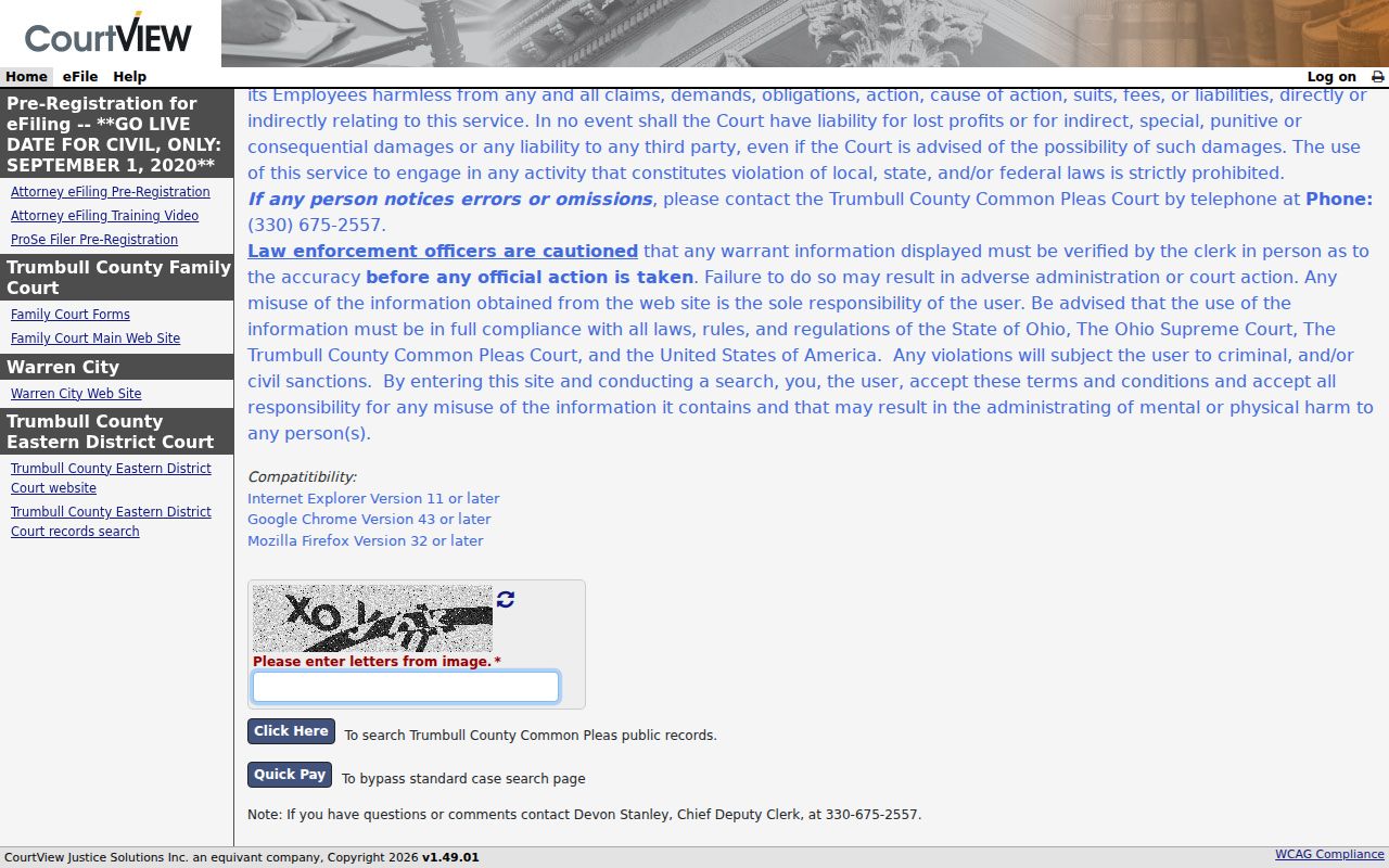
Common Pleas and Domestic Relations terminals permit party-name or case-number research, while a web result still requires case-level verification.
The Niles Municipal Court site identifies its service area and Record Search path.
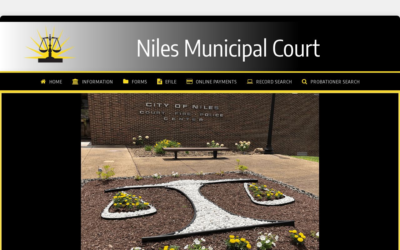
Niles requires a last name and accepts a first name on its online search screen; for a verified record, follow the court’s written-request or in-person path.
Weathersfield Resident Clues in Township Records
Township records have a narrower role than a general people search. The police records division enters and maintains criminal reports, arrest reports, traffic accidents, and traffic citations. Copies are picked up at the police station at 1451 Prospect Street during its records hours, and criminal reports are stated to be available 24 hours after completion except weekends and holidays. The division does not fax or email records. This is a channel for a known incident and date, not a way to identify local residents.
Zoning is another address-specific channel. The township requires certificates for specified structure, use, occupancy, sign, fence, pool, and agricultural-building matters, and provides application resources and a zoning map. No public online permit index was located. A focused request should give the address or parcel, date range, and desired file such as an application, certificate, site plan, decision, or meeting item.
The township police records division page states the pickup and availability rules.
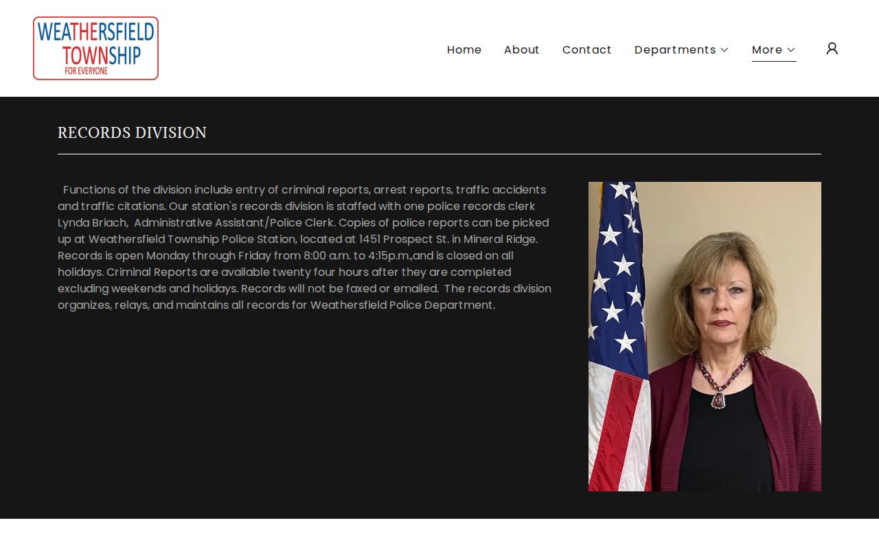
Township documents can date a known local event or property change, but they do not replace a parcel, voter, court, or historical record.
Historic Weathersfield Township Resident Trails
Weathersfield has a historical directory trail, not one township-published annual directory. Search the old place label first: Mineral Ridge, Niles, Girard, McDonald, Warren, or the specific street. LH&G holds city directories, telephone books, school annuals, microfilm, local histories, vital-record indexes, archives, and public computers. Its public pages do not publish an exhaustive title-by-title directory shelf with exact runs, so request the actual volume before stating its publisher, date range, or field conventions.
For a household timeline, note the volume title, year, page, printed name form, street, and abbreviation key. Pair the directory clue with a deed or tax record, map or plat, federal census snapshot, obituary citation, and Probate record as appropriate. The library’s obituary index is online for 1960-2025, with PDFs for 1900-1949 and print coverage for 1900 to the present plus scattered earlier years. An obituary entry is a dated newspaper lead, not certified proof of identity or residence. The fuller collection method is on the Weathersfield Township city directory page.
Weathersfield Residents in Deep Archives
Older material is not necessarily absent because it is not on a current screen. Trumbull County Archives holds Recorder deed indexes and deeds for 1795-1896, historic mortgage indexes and records for 1850-1947, a general deed-range index for 1872-1926, township tax duplicates, naturalization material, and maps. Its Auditor holdings list tax duplicates for 1811 and 1820-1946, with a documented 1952-1991 gap in one later series. Tax material names a taxable owner and may include sale notes, but it does not name every household member.
Maps and plats provide the land bridge. Archives lists township map editions from 1830 through 1979 and tax maps for 1930-1975. W-TCPL digitized the 1918 lower-townships atlas with two Weathersfield Township plat pages and a separate Mineral Ridge Village page. Bring an address, parcel or legal description, person-name variants, date range, and known book, page, instrument, or case number to a research appointment. That focused request helps staff locate a real series rather than guess at a broad resident list.
The County Archives Recorder holdings provide the dated deed, mortgage, map, and related series.
Compare Weathersfield Resident Address Fields
Address fields have different meanings, and this comparison is essential in Weathersfield Township. The county parcel system separates a physical situs from deeded-owner and taxpayer mailing components. A legal description ties land to a deed or plat. USPS verifies current delivery, not township boundaries or who lives at an address. Keeping those fields separate helps resolve the mailing labels that cross Niles, Girard, McDonald, Mineral Ridge, and Warren without turning a tax address into a residence claim.
| Research question | Official county or state record | Commercial people-search category |
|---|---|---|
| Where is the physical parcel? | County situs and parcel geometry identify the property location. | May combine addresses from different dates without explaining the parcel source. |
| What does a mailing field mean? | Owner and taxpayer mailing components stay separate from the situs. | May not explain whether an address is mailing, historic, or physical. |
| How is land linked across time? | Legal description, deed reference, and plat support a source check. | Cannot replace the recorded document and map evidence. |
| Can one person be confirmed? | Use a specific voter, court, Probate, or land record within its limits. | Can be stale, incomplete, or merge people with similar names. |
Note: Preserve the official field label and record date so parcel geography is never confused with a mailing association or a compiled profile.
Request Weathersfield Residents Records Carefully
When an online portal stops short, direct the request to the office that keeps the record. Ohio’s Public Records Act, R.C. 149.43, generally covers existing records held by public offices and requires reasonably identified records to be made available for prompt inspection or copies within a reasonable period. In-person inspection is generally free. Copy charges are the actual cost of supplies, media, or delivery, rather than routine staff time. A public office can redact exempt information and must make the nonexempt portion available where feasible.
For a township request, state the address or parcel, record type, narrow dates, known name variant, and desired medium. Send land instruments to the Recorder, parcel or map questions to Auditor or GIS, elections requests to the Board of Elections, court questions to the appropriate clerk, and historical-series requests to the Archives or LH&G. No statewide deadline applies to every request, and an office need not create a new report. Asking for an existing file, export, record, or document is clearer and more likely to match how the custodian keeps records.
The Ohio Public Records Act text describes inspection, copying, and redaction rules.
Protect Weathersfield Township Resident Privacy
Missing information can be a lawful protection, not a dead end to defeat. Safe at Home can provide a substitute address for an eligible Ohio participant, and a participating owner may have a real-property confidentiality notice. Voter data excludes confidential registrations and protected fields. Courts may seal or restrict records. Vital records, adoption material, and certain judicial files also have separate access rules. Respect those limits and ask the custodian whether a redacted or public version exists rather than seeking a workaround.
The Ohio DRC search is another scope example. It covers people currently incarcerated in Ohio prison, under Department supervision, or judicially released. It is not a complete criminal-history source, not proof of current local presence, and not a Weathersfield residents directory. A county of commitment is not a residence field, and address data can lag changes.
The Ohio DRC official search presents its own fields and status limits.
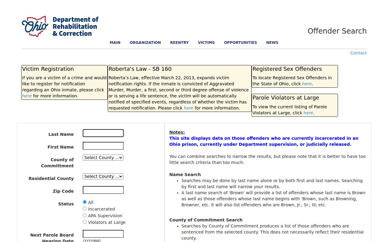
Keep any DRC result within its stated custody scope and rely on the appropriate local record for a Weathersfield-specific question.